 Hannah Ostrem
Pulsara goes to the World Cup: Supporting Medical Response with Connected Communication
With record-breaking crowds filling stadiums across North America, the 2026 FIFA World Cup is proving to be one of the largest sporting events in...

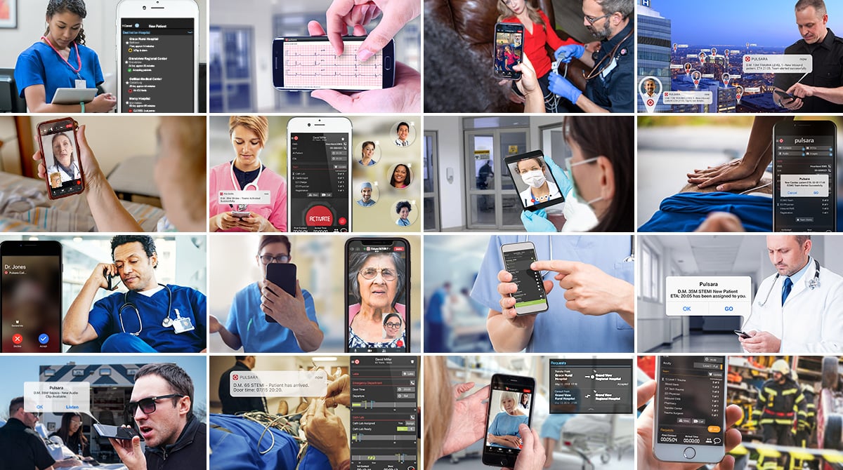
Geographic Information System (GIS) software has long been employed by public health agencies to assess the health of populations in various locations. But now, healthcare providers are starting to turn to GIS too, in efforts to better identify health risk based on location; as a recent article on the subject points out, there is a strong relationship between people's health and the particular communities they live in.
The Camden Coalition of Healthcare Providers (CCHP) in New Jersey is using GIS to connect patients’ education, housing, and criminal justice records to their healthcare usage in order to ultimately design and implement community resources for those at risk for certain conditions, with the aim of reducing emergency room visits and hospital stays.
But despite the success of such efforts as those of CCHP, conditions like STEMI and stroke aren't as easily predicted nor mediated with out-patient resources. For these emergent conditions, we need to build regional systems of care - a goal which requires linking geolocation and patient complaint, disposition, and outcome together to gain a full picture of where our processes are successful, and where they need improvements. GIS offers a promising first step in helping to gather such crucial information.


With record-breaking crowds filling stadiums across North America, the 2026 FIFA World Cup is proving to be one of the largest sporting events in...
June Recap Optimizing Emergency CareLast month, we released our newest feature, Pulsara Intelligence. Built with clinician needs in mind, Pulsara...
In fast-paced clinical settings, manual documentation often competes with vital communication and hands-on patient care. When Pulsara added automated...